Trail Overview and History
The Vision Behind the Trail
Creator: Hilary Whitton Paipeti, British expatriate living in Corfu since 1979. Passionate hill walker frustrated by lack of marked hiking routes. Envisioned long-distance path showcasing real Corfu.
Development (1997-2001): Researched old paths and donkey trails. Negotiated with landowners. Recruited volunteers. Waymarked entire route. Published first guidebook 2001.
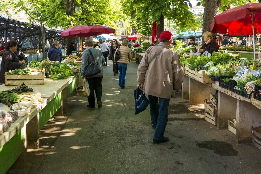
Philosophy: Showcase authentic Corfu. Route through working landscapes, not preserved nature. Village connections essential. Economic benefit to rural communities.
Evolution: Initial waymarking deteriorated. Local hiking clubs adopted maintenance. GPS tracks published. International recognition growing. Still quiet compared to famous trails.
Route Statistics
Total distance: 220 kilometers (137 miles) Direction: South to north (Kavos to Cape Agia Ekaterini) Official stages: 10 stages (variable lengths 12-28 km) Elevation gain: Approximately 6,000 meters cumulative Highest point: 906 meters (Mount Pantokrator summit) Typical duration: 8-10 days for complete trail Difficulty: Moderate to challenging (variable by section) Waymarking: Yellow diamond markers (condition varies) GPS availability: Essential backup to waymarking
Stage-by-Stage Breakdown
Stage 1: Kavos to Lefkimmi (12 km, 3-4 hours)
Terrain: Flat agricultural land. Olive groves. Villages. Easy walking. Gentle introduction.
Highlights: Southern Corfu countryside. Traditional villages. Peaceful rural atmosphere. Korission Lagoon visible.
Difficulty: Easy. Minimal elevation. Good paths. Clear waymarking.
Water/food: Lefkimmi has shops, tavernas. Limited options en route.
Accommodation: Lefkimmi hotels/rooms. Kavos (start) has abundant budget accommodation.
Notes: Kavos party town atmosphere contrasts sharply with trail’s solitude. Early morning start escapes noise.
Stage 2: Lefkimmi to Argyrades (14 km, 4-5 hours)
Terrain: Continuing through southern farmland. Gentle hills begin. Traditional olive groves. Rural roads sections.
Highlights: Authentic southern villages. Working agriculture. Traditional Greek rural life. Peaceful landscapes.
Difficulty: Easy to moderate. Some uphill sections. Navigation occasionally challenging.
Water/food: Argyrades village has taverna, limited supplies. Carry water.
Accommodation: Limited in Argyrades. Some rooms available. Advance booking essential.
Notes: Stage sometimes combined with Stage 1 for longer day (26 km).
Stage 3: Argyrades to Paramonas (20 km, 6-7 hours)
Terrain: More varied. Hills increase. Coastal views develop. Mix of paths and tracks.
Highlights: First significant coastal views. Traditional villages. Olive grove beauty. Paramonas beach finish.
Difficulty: Moderate. Longer distance. Some steep sections. Better fitness needed.
Water/food: Limited en route. Paramonas has tavernas at beach.
Accommodation: Paramonas beach hotels/studios. Book ahead (limited capacity).
Notes: Beach arrival rewarding after inland walking. Swimming opportunity.
Stage 4: Paramonas to Agios Mattheos (14 km, 4-5 hours)
Terrain: Coastal path initially. Climbing into mountains. Village destination.
Highlights: Sea views. Mountain scenery developing. Agios Mattheos large village with full services.
Difficulty: Moderate. Significant elevation gain. Rocky sections.
Water/food: Agios Mattheos has supermarkets, tavernas, bakeries. Stock up.
Accommodation: Several hotels and rooms. Village atmosphere pleasant.
Notes: Rest day possible here. Well-equipped village. Central location for exploring.
Stage 5: Agios Mattheos to Vatos (21 km, 6-8 hours)
Terrain: Mountain trails. Olive groves on slopes. Traditional paths. Some road walking.
Highlights: Kaiser’s Throne viewpoint (optional detour). Pelekas village. Mountain atmosphere.
Difficulty: Challenging. Long distance. Sustained elevation changes. Navigation tricky in places.
Water/food: Pelekas village (slight detour) has full services. Vatos minimal.
Accommodation: Vatos limited. Pelekas better options (1 km off trail).
Notes: Consider Pelekas as overnight (sunset viewing at Kaiser’s Throne). Vatos very small.
Stage 6: Vatos to Troumbetas Pass (23 km, 7-9 hours)
Terrain: Challenging mountain section. Steep ascents and descents. Rough paths. Remote feeling.
Highlights: Solitude. Mountain landscapes. Traditional shepherds’ paths. Authentic wilderness.
Difficulty: Challenging. Longest stage. Remote. Navigation critical. Physical demands high.
Water/food: Extremely limited. Carry full supplies. Occasional mountain spring (unreliable).
Accommodation: Troumbetas Pass has single accommodation option (book well ahead). Alternative: taxi to Paleokastritsa.
Notes: Many hikers split this stage. Very demanding full day. Beautiful but tough.
Stage 7: Troumbetas Pass to Lakones (12 km, 4-5 hours)
Terrain: Continuing mountain trails. Descents toward coast. Rocky paths.
Highlights: Spectacular Paleokastritsa views from Lakones. Bella Vista café. Geographic drama.
Difficulty: Moderate. Shorter distance but technical terrain. Steep descents strain knees.
Water/food: Lakones village has tavernas (including famous Bella Vista). Limited supplies.
Accommodation: Limited in Lakones. Paleokastritsa (4 km downhill) has abundant hotels.
Notes: Paleokastritsa detour tempting (famous beach). Taxi back to trail next morning option.
Stage 8: Lakones to Sidari (28 km, 8-10 hours)
Terrain: Very long stage. Mountain walking. Olive groves. Village passages.
Highlights: Village encounters. Mountain vistas. Arriving at northwest coast.
Difficulty: Very challenging due to length. Elevation changes moderate. Endurance test.
Water/food: Several villages en route offer refreshment. Plan stops carefully.
Accommodation: Sidari tourist resort. Abundant accommodation all budgets.
Notes: Often split into two days. Long day for even fit hikers. Consider alternative staging.
Stage 9: Sidari to Old Perithia (16 km, 5-6 hours)
Terrain: Coastal sections. Climbing into northern mountains. Dramatic scenery increases.
Highlights: Coastal views. Mount Pantokrator approaches. Old Perithia village (partially restored ghost village).
Difficulty: Moderate to challenging. Significant elevation gain. Rocky terrain.
Water/food: Limited en route. Old Perithia has seasonal tavernas (May-October).
Accommodation: Old Perithia has few rooms (seasonal). Book ahead. Alternative: return to Sidari or continue.
Notes: Old Perithia atmospheric overnight. Partially abandoned village. Unique experience.
Stage 10: Old Perithia to Agia Ekaterini (20 km, 6-8 hours)
Terrain: Summit of Mount Pantokrator (906m). Descent to northeastern cape. Trail’s grand finale.
Highlights: Pantokrator summit (360-degree views). Monastery. Trail completion satisfaction. Remote northern coast.
Difficulty: Challenging. Major ascent to summit. Long descent. Rocky terrain. Navigation requires care.
Water/food: Pantokrator monastery café (limited hours). Carry supplies. Minimal services at finish.
Accommodation: Very limited at trail end. Usually taxi to Kassiopi (closest resort). Celebrate completion!
Notes: Weather crucial for summit. Cloud obscures views. Clear day essential. Epic finale when conditions good.
Practical Planning
When to Hike
Best seasons: April-May and October-November. Comfortable temperatures. Wildflowers (spring). Autumn colors.
Summer (June-September): Possible but very hot. Start very early (6 AM). Carry extra water. Midday shade essential. Coastal sections tolerable.
Winter (December-March): Wet, cold, sometimes snow on Pantokrator. Many accommodations closed. Experienced winter hikers only.
Weather patterns: Spring rains possible. October usually stable. November increasingly wet. Check forecasts.
Accommodation Strategy
Pre-booking: Essential for entire route. Limited options some stages. No wild camping culture in Greece.
Types: Village rooms, small hotels, occasional hostel. Variable quality. Expect simple but clean.
Rest days: Consider Agios Mattheos or Sidari for mid-trail rest. Laundry, resupply, recovery.
Support services: Some companies offer luggage transfer. Book accommodations. Provide GPS tracks. Meals arranged.
Budget: €25-40 per night typical (simple rooms). €50-80 villages with hotels. Food €15-25 daily.
What to Carry
Essential gear:
- Hiking boots (ankle support crucial)
- GPS device or smartphone with tracks
- Paper map backup
- Water capacity 3 liters minimum
- Sun protection (hat, sunscreen, sunglasses)
- First aid kit
- Headlamp
- Guidebook or route notes
Clothing:
- Layers for temperature variation
- Rain jacket (even summer)
- Warm layer for evenings/mountains
- Quick-dry shirts and pants
- Extra socks
- Swimsuit (coastal sections)
Food:
- Snacks for trail (nuts, dried fruit, bars)
- Lunch items (bread, cheese, tomatoes)
- Some stages have no resupply
Optional:
- Trekking poles (help on descents)
- Camera
- Binoculars (birds, views)
- Book for evenings
Navigation
Waymarking: Yellow diamonds on rocks, trees, posts. Condition varies. Some sections excellent, others faded or missing.
GPS essential: Download GPX tracks before arrival. Smartphone apps (Maps.me, Gaia GPS). Battery backup. Offline maps.
Paper maps: Anavasi 1:40,000 Corfu trail map. Covers entire route. Greek and English. Essential backup.
Trail guidebook: “The Corfu Trail” by Hilary Whitton Paipeti. Detailed stage descriptions. Navigation notes. Accommodation listings (may be outdated).
Local help: Villagers generally helpful. Limited English in remote areas. Greek phrases useful.
Safety Considerations
Solo hiking: Generally safe. Remote sections mean help distant. Mobile signal spotty. Inform accommodation of plans.
Group hiking: Shared costs (taxis, accommodation). Safety in numbers. Social aspects. Pace matching important.
Rescue services: 112 emergency number. Helicopter rescue possible but slow response. Travel insurance essential.
Hazards: Twisted ankles common (rocky terrain). Heat exhaustion possible. Dehydration risk. Rare snake encounters (not aggressive).
Water sources: Springs marked on maps but may be dry. Carry full capacity. Purification tablets backup.
Day Hike Highlights
Best Single-Day Sections
Mount Pantokrator Summit (Stage 10 partial):
- Start Old Perithia or Spartilas
- Summit via trail (3-4 hours up)
- Incredible views (clear day essential)
- Monastery café at top
- Return same route or circular options
Kaiser’s Throne to Pelekas (Stage 5 partial):
- Famous viewpoint
- Sunset timing popular
- Moderate difficulty
- Village facilities start/end
- Circular route possible
Paleokastritsa to Lakones (Stage 7 reverse):
- Coastal views spectacular
- Start beaches, end mountains
- Famous Bella Vista café finish
- Moderate challenge
- Well-waymarked
Arkoudilas to Gardenos (Stage 3 section):
- Coastal wild beauty
- Remote southern character
- Moderate difficulty
- Swimming opportunities
- Less traveled
VforVIP Trail Support
Our electric van service provides trail logistics:
Trailhead transfers: Start and end point transport. Multi-day hiker drop-off/pickup. Day hiker positioning.
Luggage transfer: Carry packs between accommodations. Hike with daypack only. Reduce physical demands.
Partial trail support: Skip less interesting stages. Focus on highlights. Flexible itinerary.
Day hike access: Transport to best sections. Remote trailhead access. Pick-up coordination.
Emergency backup: Pre-arranged pickup if needed. Weather escape. Injury support.
Accommodation booking: Local knowledge and connections. Coordinate staging. Language assistance.